Experience the mystery of Nine Mile Canyon
Some people like to curl up with a good mystery. Myself, I’ve always had a penchant for unsolved mysteries, or better yet a mystery that may never be solved.
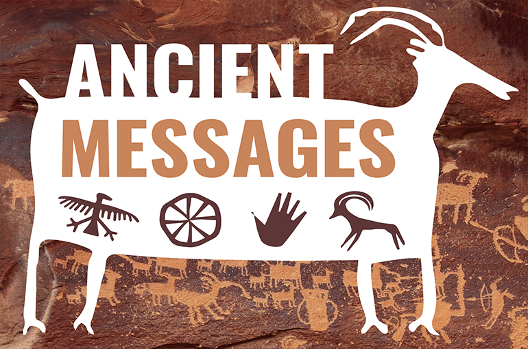
Nine Mile Canyon, tucked behind the Book Cliffs in east-central Utah, is an archaeological mystery that defies scientific explanation. Why is this place, of all places, home to an estimated 100,000 individual Native American images pecked and painted onto the sandstone cliff walls?
There is no other place anywhere in the continental United States that has so much indigenous rock art. So why here? And why is the density of images beyond comprehension? Despite nearly 30 years of documenting these sites and applying various statistical modeling to the problem, the answer to the mystery of Nine Mile Canyon’s ubiquitous rock art still eludes me.
What has become abundantly evident during my research is that Nine Mile Canyon is indeed a national cultural treasure, in effect a unique glimpse into the minds, thoughts, dreams and aspirations of people who lived here a thousand years ago or more.
One local advocate, disgruntled by local ambivalence toward preservation, told me, “If Nine Mile Canyon were located anywhere but Utah, it would already be a national park celebrated the world over.”
Yet, the national treasure that is Nine Mile Canyon remains largely unknown to the vast majority of Utahns who generally zip past the canyon turnoff on their way to better-known destinations such as Arches and Canyonlands.
There are hundreds of locations scattered throughout Utah with spectacular ancient rock-art images that draw visitors from throughout the world. But Nine Mile Canyon features a near-continuous gallery of images extending nearly 45 miles (Nine Mile Canyon is much, much longer than nine miles, but that is another mystery for another time).
Many of these images are easily visible from a recently paved road. Others are visible from hiking trails in four different locations in the canyon developed by the Bureau of Land Management and School and Institutional Trust Lands Administration.
And it would take several lifetimes to see it all.
Nine Mile Creek, which meanders verdantly through the bottom of the canyon, was undoubtedly a rich source of plants and animals for prehistoric hunters and gatherers for thousands of years. At about AD 200, a few maize farmers began to arrive and constructed pit houses and granaries along the canyon bottom. There probably were not that many of them.
And then something as-yet-unexplained happened about AD 900: The canyon’s population exploded to levels never seen before or since. Hundreds of farmers moved into the canyon, constructing houses not only on the canyon bottom but on every ridgeline and pinnacle top—some of them fortress-like towers more than a thousand feet above the creek.
By about AD 1250, most—if not all—of these people, had abandoned the canyon.
The ruined foundations of their homes and granaries are reminders of their brief tenure here. But even more inspiring are the cacophony of rock-art images they left behind that seem to whisper to us so many centuries later.
Archaeologists refer to these people as the Fremont Complex, but we really have no idea what they called themselves or who their descendants are today (several modern tribes claim affinity, although DNA evidence suggests closer ties to the modern Puebloan groups of Arizona and New Mexico).
Experiencing Nine Mile Canyon used to be a rugged “adventure” involving a narrow two-lane dirt road with deep ruts, mud pits left by the summer thunderstorms and an almost certainty of flat tires. Today, the paved road makes the canyon and its archaeological wonders accessible to visitors traveling in the flimsiest of cars and even motorcycles.
It takes about 2 1/2 hours to get there from Salt Lake City. First drive south on Interstate 15 to the US-6 turnoff to Price and Moab and then continue another hour southeast to the small town of Wellington. The road into Nine Mile Canyon is well marked and is located on the east side of the only Chevron in town. Best to gas up here since there are no services once in the canyon (and no cell phone service).
The rock-art sites, located on the north side of the canyon next to the road, begin about 25 miles onto this road, and by about 35 miles, they become almost continuous. These sites are not marked with any signs so you are on your own to find them. (Hint: try scanning the flat, varnished cliffs on the first and second levels with binoculars).
The hiking trails can be found 42 to 45 miles inside the canyon. These trails are well marked, and they lead to some of the most impressive sites anywhere in the canyon.
When exploring Nine Mile Canyon, please remember:
Much of the canyon is private property. Please respect the “no trespassing” signs as you observe the images from the road.
Never touch rock-art images. The oils on your skin can accelerate the erosion of the images themselves.
It is never acceptable to add your own images, names, initials, dates, or anything else to the sites. This is, quite simply, vandalism that can carry hefty federal and state penalties.
Take photos and make sketches, but never do rubbings of the images (it abrades the images much like sandpaper would). Chalking of the images to enhance contrast is also not acceptable.
If you observe any illegal or inappropriate behavior please report it to the Price BLM at 435-636-3600. Let’s all work together to protect the past for future generations.
Jerry Spangler is a professional archaeologist and executive director of the nonprofit Colorado Plateau Archaeological Alliance, a Utah-based coalition of archaeologists, scholars, historians and preservationists dedicated to the protection of cultural sites and Utah’s archaeological resources. Learn more at CPArch.org.


